
Where the Real World
Becomes Digital.
Capture Reality. Build with Confidence. The complete survey-to-BIM ecosystem — hardware, software and cloud, from a single partner.
The complete survey-to-BIM ecosystem.
From centimetre-precise field capture to intelligent BIM models — every step, one partner.
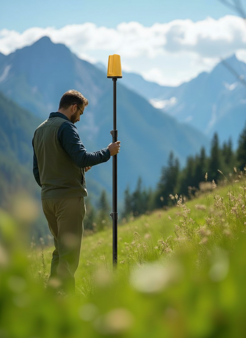
GPS ProTRACK
Centimetre precision. In under 3 seconds. Anywhere.
Multi-constellation RTK receiver built for surveyors, drone pilots and BIM crews. Four operating modes, up to 18 hours of autonomy and a 60° tilt compensator designed for reliable performance even in complex site conditions.
- Rover · Base+Rover · Mobile Base · Drone RTK modes
- Tilt compensation up to 60°
- Hot-swap battery, all-day field work
- Bluetooth & NTRIP out of the box
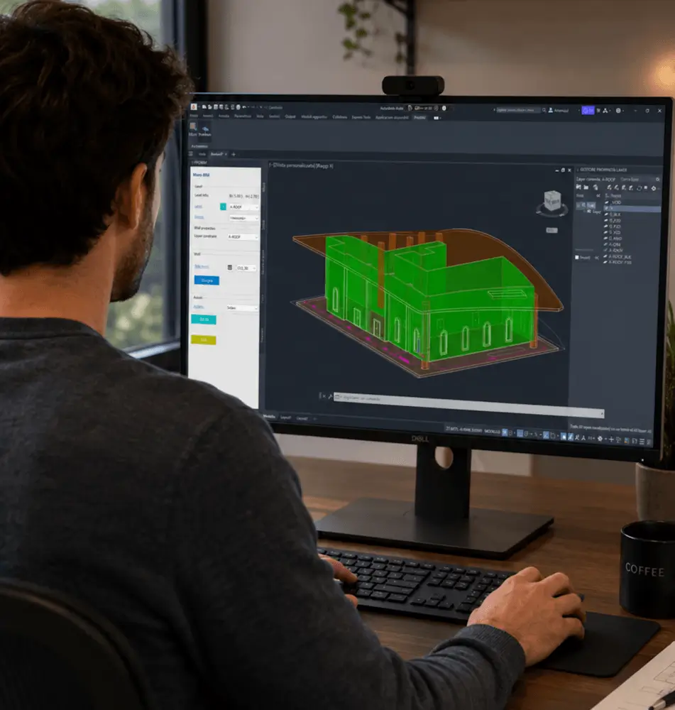
Analist 2027
From point cloud to parametric BIM — in one platform.
CAD and BIM, powered by Autodesk Technology. Convert raw scans to structured models, run terrain analysis (DTM/DSM), handle cadastral workflows and collaborate from anywhere with Analist CLOUD.
- Architectural BIM modelling
- Survey data processing
- Point cloud classification
- Integrated topographic design

Scanner LiDAR Raven
Walk in. Scan. Walk out.
Portable SLAM LiDAR scanner for as-built capture, site documentation and digital twins. Combines LiDAR and IMU fusion with real-time RGB acquisition and optional RTK georeferencing.
- Enhanced SLAM acquisition
- High-density point clouds
- Indoor & outdoor mapping
- Compact and versatile

Scanner SLAM Eagle
Wearable mapping at city scale.
A backpack SLAM scanner that turns walking into surveying. 200,000 points per second, 8K HDR imagery and integrated L1/L2 RTK keep large jobs accurate without slowing you down.
- Wearable, all-day comfort
- Centimetre georeferencing
- Colourised point clouds
- Built for tunnels, plants & cities
From field to digital twin — in three steps.
Capture
Field crews acquire centimetre-precise GNSS points and dense LiDAR scans.
Process
Analist 2027 fuses point clouds, SLAM and GNSS into a single coherent dataset.
Deliver
Export BIM models, IFC, DWG and digital twins — ready for the AEC pipeline.
Trusted by top professionals.
"ProTRACK GPS was the best upgrade for our company in 2025. The acquisition of control points, coordinates UTM for RTK laser scanning and drone projects just got a lot easier."
"I use ProTRACK for both cadastral and topographic surveys. In a very short time I can perform the survey, transfer data in CAD and carry out tracing."
"I use ProTRACK for GCP acquisition in areas accessible only by foot, such as glaciers and landslide zones. The compactness is crucial."
Talk to our team.
We respond within one business day. In English.