
Landscaping & Green Design

Design outdoor spaces with the absolute precision of ProTRACK GPS.

Ditch the tape measure. Use the ultimate high-precision GPS receiver to capture green areas, levels and volumes in seconds, and move straight into design and CAD.

Centimetre GPS accuracyInstant surface and volume totalsCAD-ready deliverables
Explore Workflows
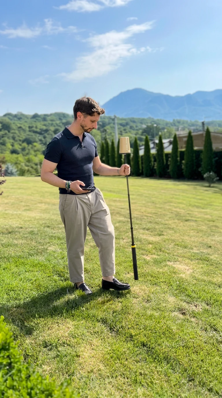
Operator surveying a garden with the ProTRACK GPS rover

The ProTRACK GPS workflow

From field measurement to a result your team can use.

Measurement and Mapping of Green Areas

Walk & Capture

Real-time mapping

Walk the site once with the ProTRACK GPS rover to capture boundaries, trees, and key points in a single pass.

Zero Tape Measures

No scattered notes

The survey builds itself instantly as you move, documenting complex gardens seamlessly.

Survey-Grade Accuracy

Centimeter-level precision

Lock in precise coordinates instantly, even in challenging outdoor environments.

Surface Measurement: Outdoor Areas

Trace & Total

Instant surface calculation

Trace the perimeter of lawns, beds and paving with ProTRACK GPS and let the app calculate exact surfaces on the spot.

Faster Quotes

No office redraws

Instant square metres mean faster quotes, sharper tenders and tighter control of materials.

CAD-Ready

Direct export

Export the measured surface straight into CAD formats your team already uses.

Elevation Survey and Contour Lines

Walk the Levels

Continuous height capture

The ProTRACK GPS receiver records centimetre-level heights as you cross the site.

Auto Contours

Terrain intelligence

Turn recorded points into readable contour lines for drainage and grading plans.

Design with Confidence

Verified levels

Plan planting, drainage and earthworks knowing exactly how the terrain behaves.

Excavation and Earthworks Calculation

Existing vs Design

Automatic comparison

Let ProTRACK GPS compare existing and design levels and calculate cut, fill and excavation volumes.

Defensible Numbers

Client-ready reports

Hand clients and contractors reliable volumes instead of site-day estimates.

Same-Day Decisions

Fast turnaround

Move from field capture to quantity report in minutes, not days.

Data Export & CAD Integration

Capture Once

Use everywhere

The ProTRACK GPS app instantly exports your captured geometry in standard CAD formats.

No Redraws

Same field data

Designers, estimators and site crews all work from the same field data.

Standard Formats

DXF, CSV, SHP

Deliver files that plug directly into your existing CAD and GIS workflows.

See ProTRACK GPS in your workflow

Turn the next site visit into usable data.

Book a focused ProTRACK GPS demonstration built around the measurements your team handles every day.