
Measure Anything, Anywhere with ProTRACK GPS.
One high-precision GPS receiver, purpose-built workflows for the professionals transforming outdoor spaces and construction sites.
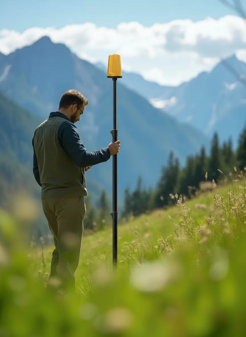
See ProTRACK GPS in action
From a walk on site to measurements ready to use.
Watch the complete ProTRACK GPS workflow from field capture to export.
Professional RTK GNSS rover
The multi-constellation RTK receiver, made in Italy.
ProTRACK is the centimetre-precise RTK GNSS rover built for professionals who need reliability, speed and portability. RTK fix in seconds, Bluetooth and Wi-Fi connectivity, and an Android app that takes your survey from the field straight to CAD.
1 cm
RTK accuracy
< 3 s
Fix time
10 Hz
Max update rate
-40 / +85 °C
Operating range
Highlights
Four operating modes, one receiver.
Choose the configuration that fits the project, from everyday RTK surveys to drone corrections in the field.
GNSS Rover
Centimetre accuracy everywhere with RTK corrections via NTRIP or TCP, even in complex environments.
Base + Rover
Build a local RTK network with two ProTRACK units and work autonomously in remote areas without network coverage.
Mobile Base
Precise data while moving, ideal for dynamic road, agriculture and construction site surveys.
RTK for Drones
Real-time GNSS corrections for drones in photogrammetry, LIDAR and 3D modelling missions.
Key specifications
- Constellations
- GPS, GLONASS, Galileo, BeiDou, QZSS, SBAS
- Bands
- L1 / L2 multi-frequency, integrated antenna
- Interfaces
- USB-C · Bluetooth LE · LoRa RF radio
- Accuracy
- < 1 cm with base or NTRIP up to 35 km
- Boot time
- 25 s cold position, RTK fix < 10 s warm
- Field app
- Analist Mobile for Android, export DXF, CSV, SHP
One integrated ecosystem
From the instrument to the app to the office, one continuous flow.
ProTRACK GPS + Analist Mobile + Analist CLOUD: three tools, one integrated workflow that takes every measurement from field capture to the final deliverable.
 01
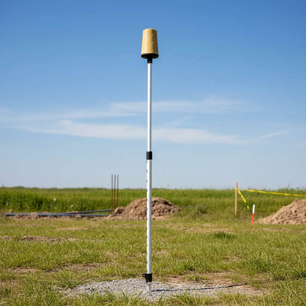
01ProTRACK GPS
On the field
Capture points with RTK centimetre precision. Multi-constellation, FIX in seconds.
 02
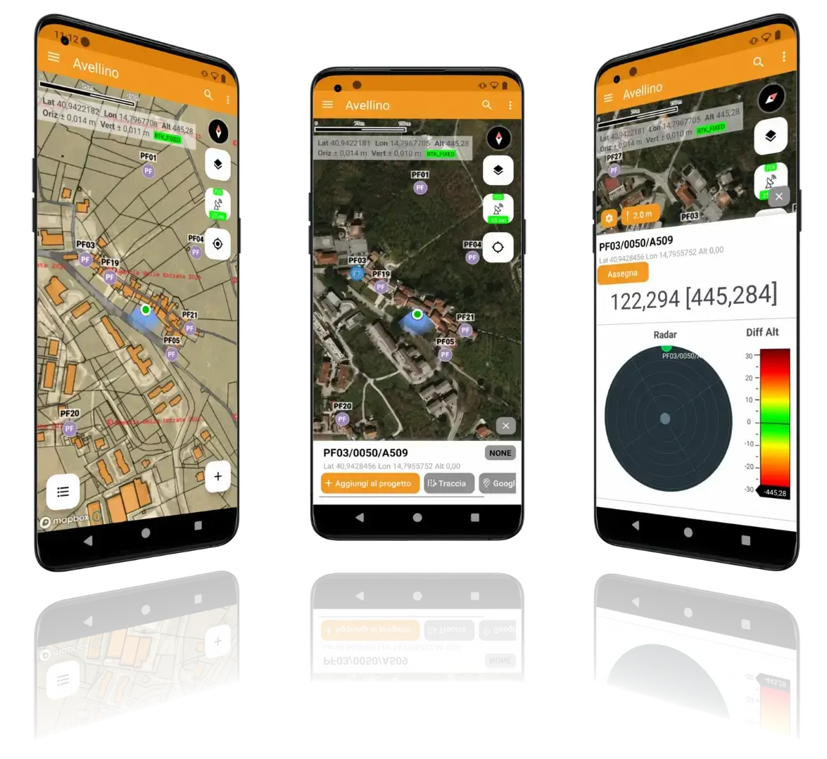
02Analist Mobile
In the app
Visualize, draw and organize field data on your Android smartphone. Export to DXF, CSV, SHP.
 03
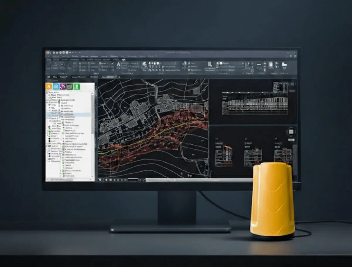
03Analist CLOUD
In the office
Process, design and share the survey with professional desktop software, powered by Autodesk Technology.
Built around your work
A clearer path from field data to finished work.
Choose your sector to see how ProTRACK GPS turns complex measurements into practical, export-ready results.
Ready when you are
Everything included, for just € 1,950.
One transparent price for the complete ProTRACK GPS kit, no hidden costs, no subscriptions to get started.
- ProTRACK GPS RTK receiver with multi-constellation support
- Analist Mobile app for Android included
- Instant export to DXF, CSV and SHP
- Free onboarding and dedicated technical support
All inclusive · one-time price
€ 1,950
Get your ProTRACK GPSTalk to our team first, book a free demo and see it on your own site.
Prefer to spread it out? Flexible installment plans available at checkout.
See ProTRACK GPS in your workflow
Turn the next site visit into usable data.
Book a focused ProTRACK GPS demonstration built around the measurements your team handles every day.