
Facade Survey and CAD Rendering
From ground-level capture to renovation-ready drawings.
Ground-Based Capture
Safe & fast
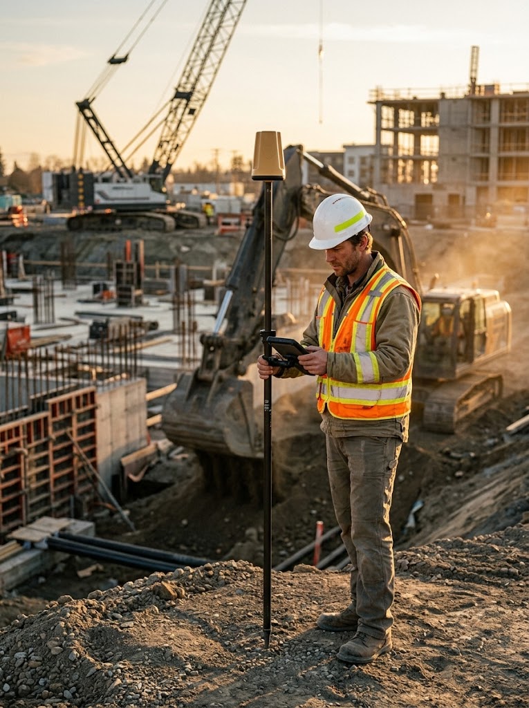
Capture facade geometry with your ProTRACK GPS rover from accessible positions on the ground.
CAD-Ready Drawings
No return visits
The app turns those points into CAD-ready drawings for design and renovation teams.
Reliable Record
Existing conditions
Build a dependable as-built record without scaffolding or total-station setups.